City, Close-In or Estate: How Our Neighborhoods Differ
The sixteen neighborhoods we cover fall into four groups: the rowhouse city, the house-lined streets of upper northwest DC, the close-in suburbs and the larger-lot areas. Here's how they differ in homes, getting around and daily life, with the figures to show it.
Sixteen neighborhoods is a lot to weigh at once, but they sort into four groups: the rowhouse city, the house-lined streets of upper northwest DC, the close-in suburbs in Maryland and Virginia, and the larger-lot areas farther out. The gaps between the groups are bigger than the gaps inside them, so it's worth deciding which group fits before you compare streets. The kind of building you'd live in, how you'd get around and what's within a walk of your door do most of the sorting.
In the city, homes share walls
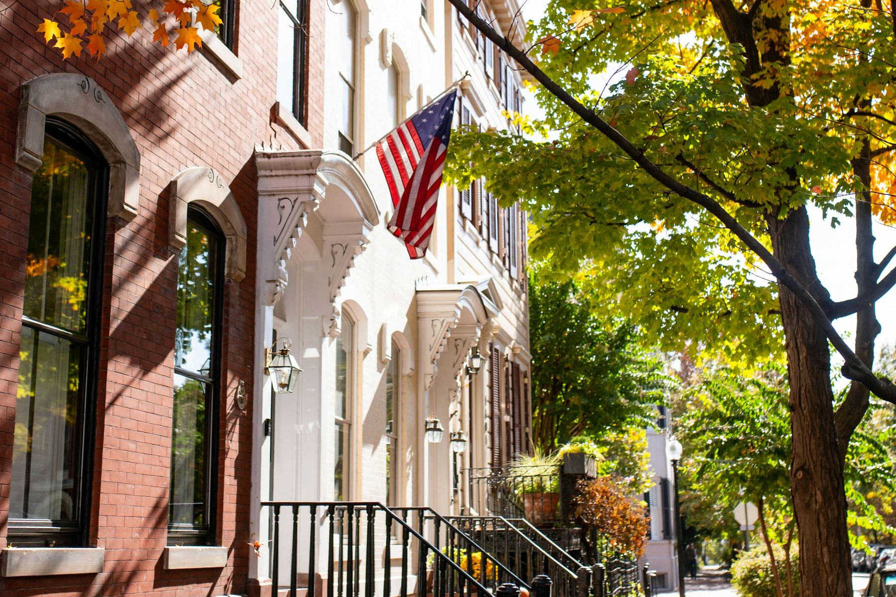
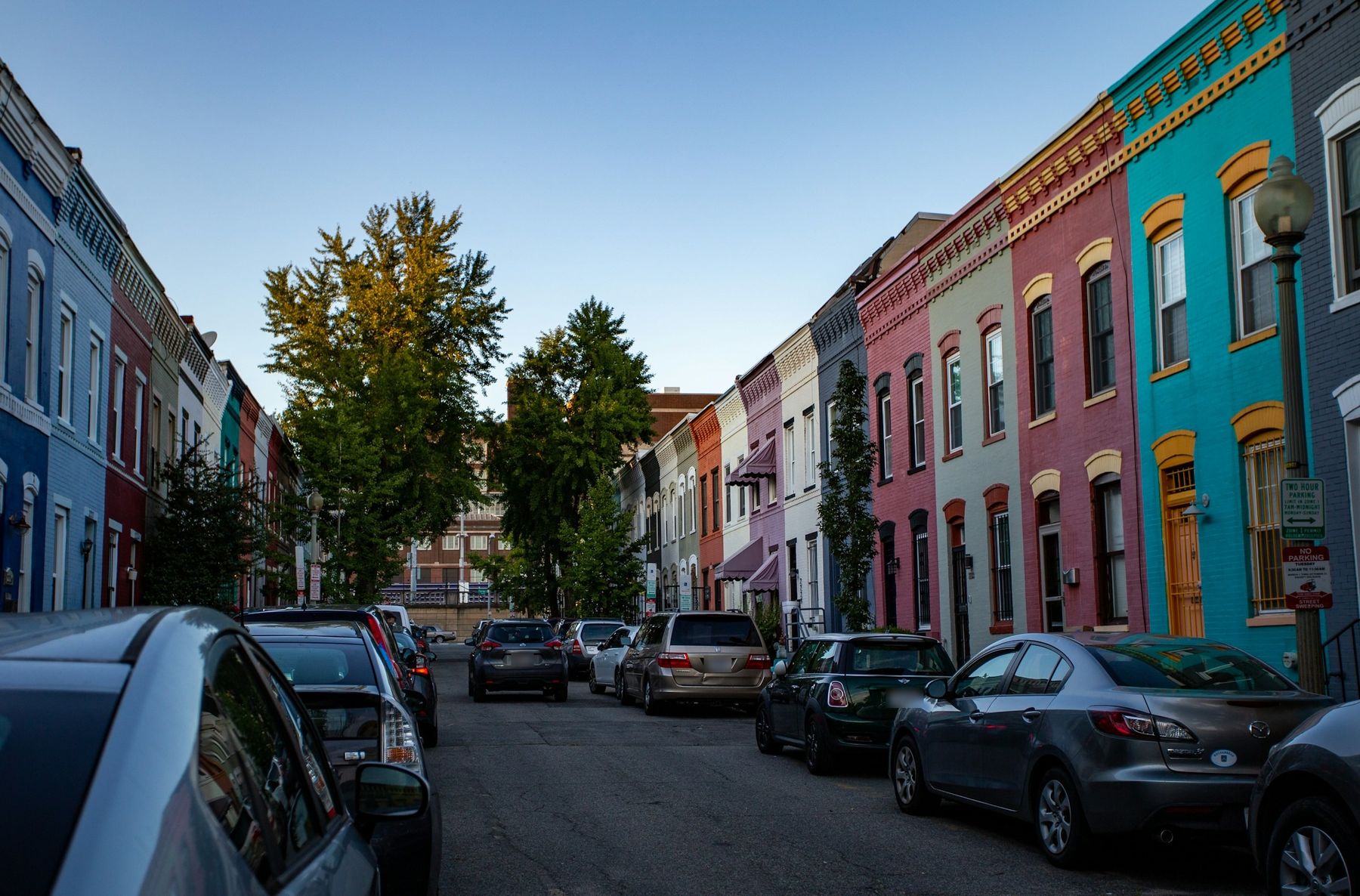
In Georgetown, Logan Circle and Kalorama, most homes are attached to the one next door or stacked above it. In the four Census tracts that cover Georgetown, 2,694 of 5,082 homes are townhouses or rowhouses. In the nine tracts that cover Logan Circle and Shaw, 11,973 of 17,444 homes are in buildings of ten or more units. Much of it is old, too: in Kalorama, 1,090 of 1,616 homes were built before 1940.
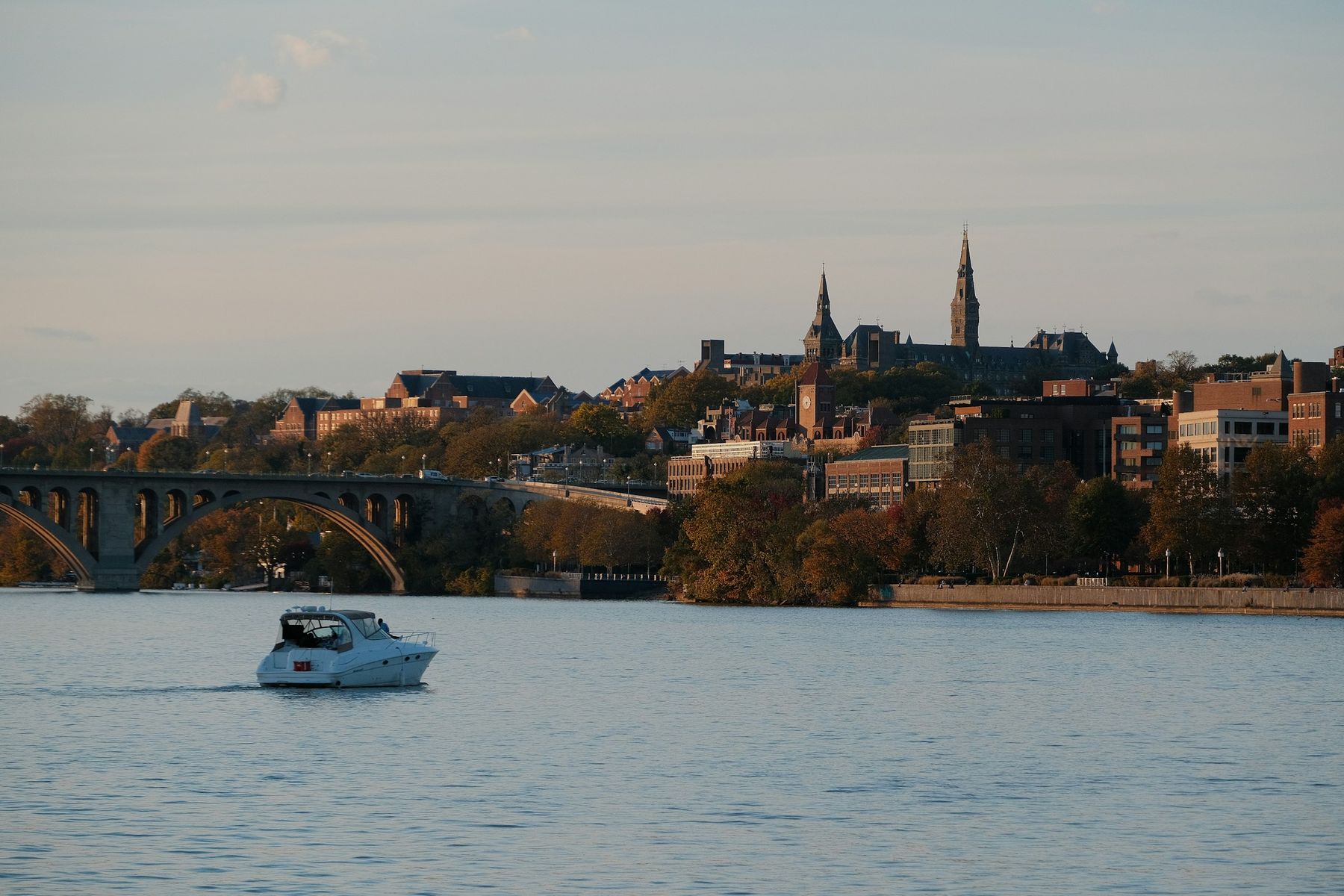
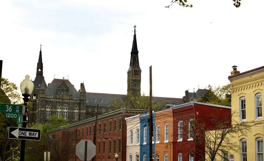
Daily life here runs on foot. Georgetown has the shops on M Street and Wisconsin Avenue and the C&O Canal towpath below them. 14th Street NW, a block west of Logan Circle, has restaurants, a full-service grocery and the Studio Theatre. From the center point each guide maps, Logan Circle is an 11-minute walk to Shaw-Howard U and Kalorama a 13-minute walk to Dupont Circle. Georgetown's nearest station, Foggy Bottom-GWU, is 23 minutes on foot.
Upper northwest: houses inside the District
Spring Valley, Wesley Heights, Kent and the Palisades keep a DC address but are built around detached houses. Kent has 908 detached houses out of 990 homes, Wesley Heights 905 of 1,123 and Spring Valley 672 of 981. The Palisades is more mixed, with 1,093 of 2,025 homes detached and the rest split among townhouses and apartment or condominium buildings.
What you give up is the Metro on foot. Tenleytown-AU is the nearest station to all four, a 23-minute walk from Spring Valley and 62 minutes from the Palisades. What you get is woods and quiet streets: Battery Kemble Park and the Glover-Archbold ravine bracket Wesley Heights, Kent has no commercial strip, and the Palisades has a small one on MacArthur Boulevard with the C&O Canal below. Downtown is 19 to 25 minutes away by car without traffic.
U.S. Census Bureau, American Community Survey 5-Year Estimates, 2019 to 2023
The close-in suburbs: a center you can walk to
Bethesda, Chevy Chase, Arlington, Old Town, Vienna and Cabin John each pair homes with a center, in very different proportions. Across Arlington, 66,884 of 120,746 homes are in buildings of ten or more units, with high-rise condominiums over the stations on the Rosslyn to Ballston corridor. Virginia Square-GMU is a 7-minute walk from the center our guide maps. Bethesda is split, with 15,901 of 29,552 homes detached and 11,363 in buildings of ten or more units: condominiums downtown, brick colonials around them, and the Bethesda station an 11-minute walk.
Old Town is a river town of rowhouses. There, 2,524 of 5,202 homes are townhouses or rowhouses, King Street runs from the Metro down to Waterfront Park, and Reagan National is 15 minutes by car. Chevy Chase and Vienna lean toward houses, with 5,532 of 6,909 homes detached in Chevy Chase and 4,430 of 5,674 in Vienna, each around a small center (the village center on Connecticut Avenue, and Maple Avenue and Church Street in Vienna). Cabin John is the smallest, 926 homes on wooded lots between MacArthur Boulevard and the river. By car without traffic, Downtown is 20 minutes from Arlington and 37 from Chevy Chase, with the rest of this group in between.
The larger-lot areas: room, and a car
Potomac, Great Falls and McLean are where the lots get big and the driveways get long. Great Falls is almost entirely detached houses, 5,099 of its 5,136 homes, on a roughly one-acre minimum, with no Metro and no public water or sewer. McLean has 14,351 detached houses out of 17,765 homes, and Potomac 11,836 of 16,843.
Daily life here mostly starts in the car. Potomac is horse country around a small village at Falls and River Roads, and its nearest Metro station, Rockville, is a 19-minute drive. McLean has its own Silver Line station, a 7-minute drive from the center our guide maps. Distance on the map isn't the whole story: McLean is 25 minutes from Downtown by car without traffic, and Bethesda is 35. Great Falls runs the other way, 39 minutes to Downtown but 24 to Dulles.
Mapbox Directions, typical conditions without live traffic; Metro stations from DC GIS
Schools follow the jurisdiction
The jurisdiction sorts the list too, since taxes, schools and the rules follow it. The seven DC neighborhoods are in DC Public Schools. Bethesda, Chevy Chase, Potomac and Cabin John are in Montgomery County Public Schools, and McLean, Great Falls and Vienna are in Fairfax County Public Schools. Arlington has Arlington Public Schools, and Old Town is in Alexandria City Public Schools.
Narrowing it down
If more than one group still fits, put up to four neighborhoods side by side in our Neighborhood Compare, with their Census figures, public schools, nearest Metro and drive times. If you'd rather start from what you want, the Neighborhood Quiz asks six questions, from the kind of home to the daily trip, and matches your answers to the same kinds of figures. Then read the sixteen neighborhood guides, each of which takes one place in detail, from its smaller pockets to its schools and getting around.